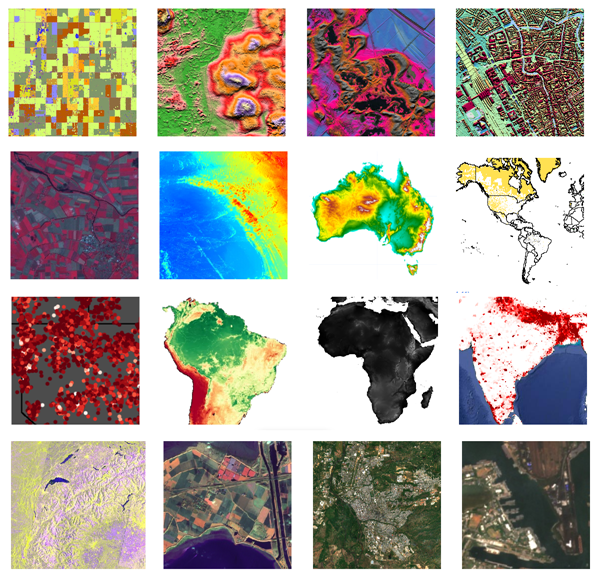
Google Earth Engine provides cloud-computing platform for Remote Sensing analysis. There are many datasets available. The following images are mostly used images.

Data Science, Machine Learning, GIS, Python, R, Remote Sensing, land and water science, and others

Google Earth Engine provides cloud-computing platform for Remote Sensing analysis. There are many datasets available. The following images are mostly used images.

Remote sensing is a science to acquire information from location without directly going to the location. Remote sensing can be performed using many kinds of vehicles, such as satellite, aerial vehicle, and unmanned aerial vehicle/drone. Image data acquired from different vehicle will have different way to process.
This article will discuss about one of the satellite images composite, Landsat 8 OLI. To do composite, some software can be used, like ENVI, ArcGIS, or QGIS. But, in this article, we will use Google Earth Engine cloud-computing. Landsat 8 OLI has bands shown as below.
Continue reading “Image Composite using Earth Engine (Landsat 8 OLI Satellite)”