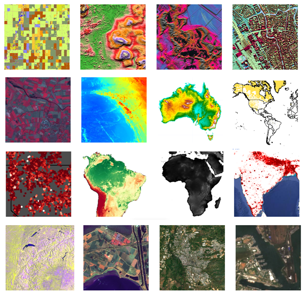
Google Earth Engine provides cloud-computing platform for Remote Sensing analysis. There are many datasets available. The following images are mostly used images.

Data Science, Machine Learning, GIS, Python, R, Remote Sensing, land and water science, and others

Google Earth Engine provides cloud-computing platform for Remote Sensing analysis. There are many datasets available. The following images are mostly used images.

Remote sensing is a science to acquire information from location without directly going to the location. Remote sensing can be performed using many kinds of vehicles, such as satellite, aerial vehicle, and unmanned aerial vehicle/drone. Image data acquired from different vehicle will have different way to process.
This article will discuss about one of the satellite images composite, Landsat 8 OLI. To do composite, some software can be used, like ENVI, ArcGIS, or QGIS. But, in this article, we will use Google Earth Engine cloud-computing. Landsat 8 OLI has bands shown as below.
Continue reading “Image Composite using Earth Engine (Landsat 8 OLI Satellite)”
Creating a web page or dashboard can be done using R with the Shiny package. Another way to do this is by using HTML, CSS, and Javascript, or called web programming languages. But, R can replace most of the basic functions of web programming in making a dashboard.
This article describes a simple interactive dashboard developed using R, incorporating a few programming languages. The dataset is Covid19 cases happening in Indonesia from March 2020 until mid-July 2020. The chart shows the time series of Covid19 cases: total cases, death cases, recovered cases, new cases, new deaths, and new recovered. It is interactive because the chart is made using Plotly package. Hover the pointer there, and it will show the individual bar or line information. Ggplot is not interactive like this. The chart is also reactive. Users can set which months to show on the graph from the checkboxes.
Continue reading “R Shiny Dashboard”
Web GIS is a digital map. Digital map is interactive, not like conventional printed map. In digital map, like Google Map, users can pan, zoom in, zoom out, and manage which layers to show.
WebGIS can be made by coding skills, or simply without anny coding skills. Creating WebGIS with coding requires several coding languages. While, it can also be made without coding, only requiring ArcGIS online or Google Map. This article will show it. The following is made using Google Map.
Continue reading “WebGIS Without Coding”
Spatial Data Science integrates Geographic Information System (GIS) and Data Science. This article briefly describes Geospatial or Spatial Data Science in my point of view in simple way. Of course there are may other perspectives of Spatial Data Science. GIS contains 3 steps. They are data input, processing, and visualization/output.
Continue reading “Spatial Data Science”
Analyzing attirbute table in GIS data, like feature class can be done by Python Arcpy. This article is the second part of this article. It is called cursor. There are three types of cursor: search, update and insert cursor. Search cursor is for summarizing the rows in the attribute table by average, sum, and others. Below is the example script of using search cursor to print and calculate the total area of polygons of which the area is less than or equals to 20 ha.
Continue reading “ArcPy Cursor for GIS”
Working with GIS is fun. Preparing, analysing, visualizing, and concluding geospatial data are interesting for those have passion in it. But, doing repeated and monotonous technical jobs can be boring or even frustrating, especially if the huge load of work must be completed in a short time. Some human errors can happen. However, if the work is repeated, it can be automated using Model Builder, Batch Files, or Python. In this article, geospatial data processing is the focus of the discussion.
Continue reading “Model Builder, Batch Files, and Python for GIS”