Skip to content
Data Science and GIS

Data Science and GIS

Data Science, Machine Learning, GIS, Python, R, Remote Sensing, land and water science, and others

  • Contact

Tag: Sentinel

Remote Sensing

Satellite Images Datasets Provided by Earth Engine

30th Aug 202030th Aug 2020 RendyK

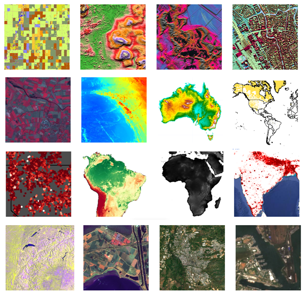
Google Earth Engine provides cloud-computing platform for Remote Sensing analysis. There are many datasets available. The following images are mostly used images.

Continue reading “Satellite Images Datasets Provided by Earth Engine” →
Tagged Earth Engine, Google Earth Engine, Landsat 7, Landsat 8, MODIS, Remote Sensing, Sentinel, SRTMLeave a comment

Archives

  • Sep 2023
  • Jun 2021
  • Oct 2020
  • Aug 2020
  • Jul 2020

Recent Posts

  • My Work Samples Portfolio
  • Portfolio
  • Machine Learning Notebooks Collection
  • Hierarchical Clustering
  • K-means
  • Linear Regression (Supervised Machine Learning)
  • Naïve Bayes
  • Decision Tree/Classification and Regression Tree and Random Forest
  • K Nearest Neighbors (kNN)
  • Introduction to Machine Learning

Categories

Blog at WordPress.com.
Privacy & Cookies: This site uses cookies. By continuing to use this website, you agree to their use.
To find out more, including how to control cookies, see here: Cookie Policy
  • Subscribe Subscribed
    • Data Science and GIS
    • Already have a WordPress.com account? Log in now.
    • Data Science and GIS
    • Subscribe Subscribed
    • Sign up
    • Log in
    • Report this content
    • View site in Reader
    • Manage subscriptions
    • Collapse this bar
 

Loading Comments...
 

    Design a site like this with WordPress.com
    Get started